Skip to content
Blog

Articles about Geospatial Data

CrateDB: The Real-time Analytics Database Built for a Unified Data World

CrateDB: The Real-time Analytics Database Built for a Unified Data World

Discover how CrateDB unifies multi-model data handling for real-time, AI-powered analytics and simplifies complex data management in one platform. CrateDB revolutionizes AI-driven analytics by unifying multi-model data handling, enabling real-time operational and AI workloads in a single, scalable database platform.

Read more

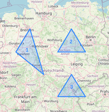
Shapes on the Map of Germany

Geometric Shapes Indexing with BKD-trees

The introduction of BKD-tree-based indexing has brought notable enhancements in query performance (both indexing and lookup), streamlined index configuration and minimized storage demands.

Read more

Best Database for Geospatial Data

Best Database for Geospatial Data

Explore the importance of geospatial databases for managing location-based data efficiently. Learn about key factors to consider when choosing a database.

Read more

What is Geospatial Data

What is Geospatial Data?

Learn about the importance of geospatial data in decision-making and explore the top uses and benefits of geospatial data analytics.

Read more

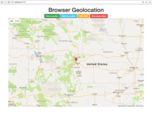
Geolocation 101: How To Get A User's Location

Geolocation 101: How To Get A User's Location

Blog post on the basics of how to get a web user's location, place a pin on a map, and show them museums nearby using JavaScript.

Read more

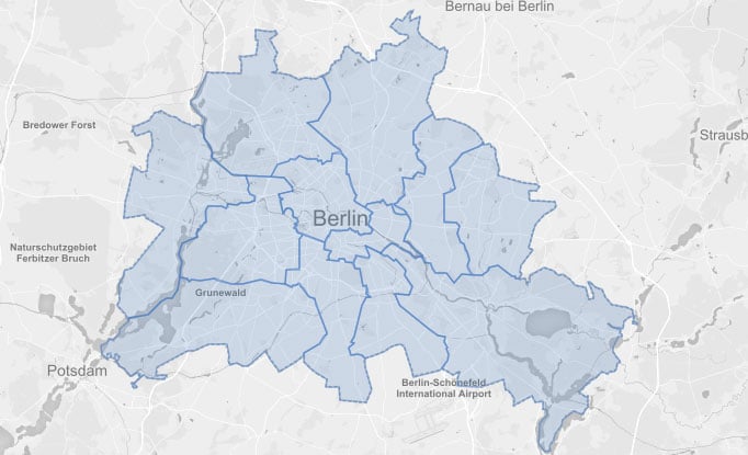
Berlin and Geo Shapes in CrateDB

Berlin and Geo Shapes in CrateDB

In our last blogpost about Crate's spatial and geographic features we announced the support for the geo_point data type and related operations. Since that post, we have greatly improved our geographic features...

Read more

Geospatial Queries with CrateDB

Crate provides a specific data type for scenarios where it is necessary to track and analyse geo coordinates.

Read more